South of Broad: A Stunning Architectural Array
By Christina R. Butler/Butler Preservation for
Charleston Empire Properties – 11 March 2020
South of Broad Street is Charleston’s most exclusive residential neighborhood, and its architectural importance is reflected by the fact that the eastern portion became part of America’s first historic district, in 1931. It is bounded on three sides by water, by the picturesque Cooper and Ashley Rivers, which flow out to the Charleston Harbor. Broad Street, the financial and business main street of the city and today also home to several popular restaurants and pubs (including the famous Blind Tiger, a former speakeasy), forms the northern boundary.
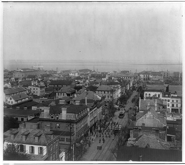
A view looking east down Broad Street from St. Michael’s steeple, 1902. Library of Congress
At its intersection with Meeting Street is the Four Corners of Law: St. Michaels Church, the oldest church building in the city (begun in 1752), Charleston City Hall (circa 1800), the colonial era Court House, and imposing granite Federal Post Office (1880s). Moving south, the commercial enterprises give way to quiet, residential streets.
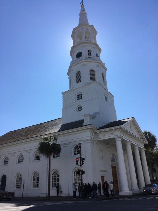
St. Michael’s Episcopal Church and a nearby house, which was featured in the movie The Patriot. Why build a set when South of Broad’s architecture is available?
To encourage people to settle Charlestown, the Lords Proprietors who owned the colony in the 1670s began granting numbered town lots depicted on a plan called the Grand Model; the South of Broad area was part of the Model, but only the eastern half was developed in the colonial period as Charlestown became a fortified town, with a wall running roughly where Meeting Street is today and severing the lower lying lots to the west from the town proper. Charlestown was one of only three walled cities in the British North America, and was enclosed by brick and earthen fortifications designed to keep out Spanish settlers who might sail northward from Florida, French settlers who were colonizing lands to the west of Carolina, Native American tribes who called the Lowcountry and the peninsula home before the English. At the eastern foot of Tradd Street was a redan, or triangular shaped fortification projecting from the wall into the Cooper River, used as a cannon emplacement. Tradd Street was home to tradesmen’s workshops interspersed with fine residences closer to Meeting Street. Iconic Rainbow Row, with its brightly colored facades along East Bay Street, bustled with maritime activity in the colonial era as ships docked just across the street at wharves that have since been filled and turned into cobble stone-lined residential streets (such as South Adger’s Wharf.)
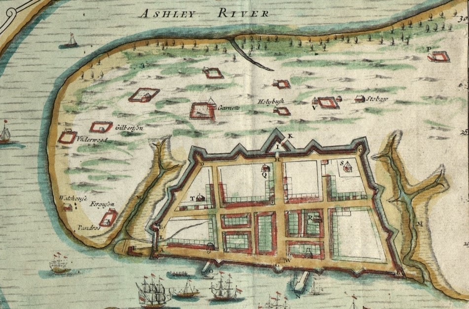
The Crisp Map of 1711 shows the walled city of Charleston. The triangle labeled I is a drawbridge at the intersection of Meeting and Broad Streets.
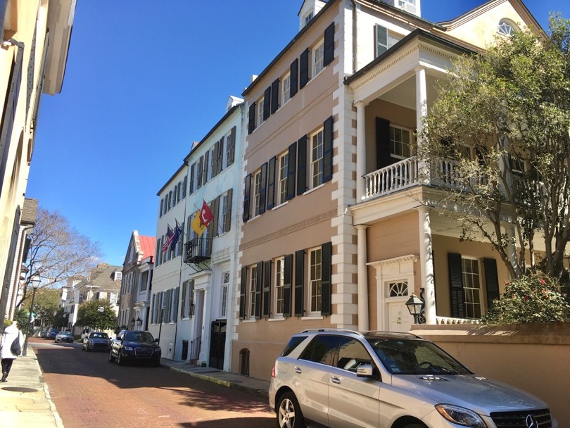
As one of the oldest settled parts of the city, South of Broad grew organically instead of being planned and platted as a subdivision. Visitors can follow the growth of the neighborhood through its architecture: early colonial and Georgian style houses are grouped between Water and Broad Streets along Tradd and Church streets (within the original town wall), stately Greek Revival and eclectic mansions along the circa 1818 Battery, Victorians near the west end of Broad Street reflecting late nineteenth century development, and Colonial Revivals and Craftsman houses near Murray Boulevard, built after the area was reclaimed in the 1910s.
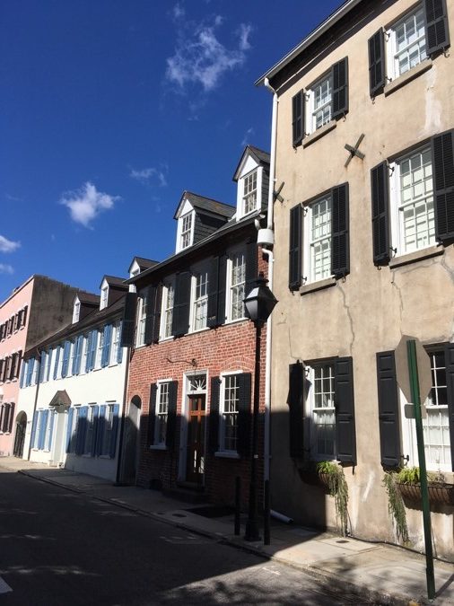
Early eighteenth century buildings on Tradd Street, and a colonial revival house from the turn of the twentieth century near Murray Boulevard.
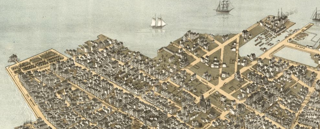
Bird’s Eye Map of 1872 shows White Point Garden and the Battery on the left, and the millponds and lowlands on the right which were reclaimed to create Murray Boulevard, Lowndes Street, and the extension of South Battery.
After the American Revolution, the remaining fortifications were removed and the neighborhood expanded to the south and west as residents filled low lands and extended streets. For example, what is today Lamboll Street was created out of a marsh between Meeting and King Streets, while White Point Garden was created by the city through reclamation in the 1830s. Vanderhorst Creek was eventually filled to create Water Street, and the marshes were incrementally filled to extend Atlantic Street east to the Cooper River.
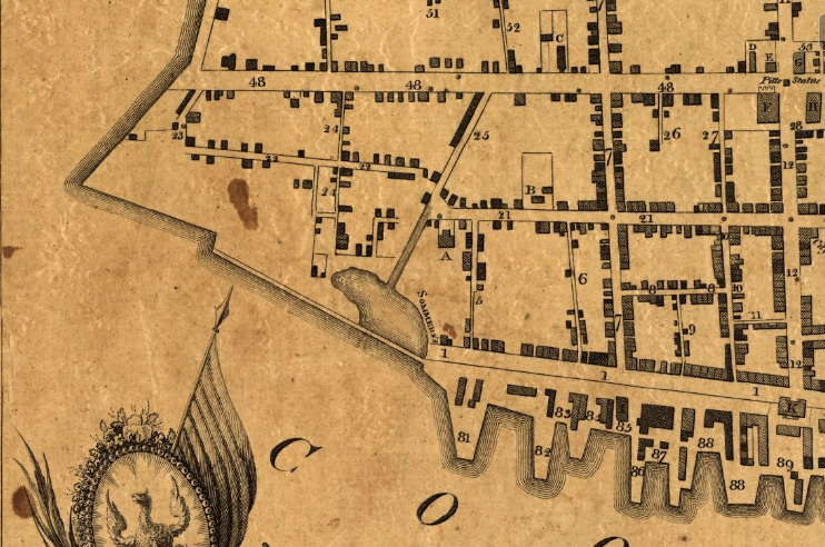
The triangle of land to the right shown on this 1788 map would later become White Point Garden, and the large pond in the center is the future site of Water Street.
The Battery, lined today with stately nineteenth century homes, was essentially a beach in its early days, and was home to Fort Mechanic (begun in 1794) and was part of the coastal defenses in the War of 1812. Afterwards, East Bay was finally extended alongside a new robust seawall, and residents built the Battery mansions shortly after. The Edmonston-Alston house at 21 East Battery was the first to be constructed, begun in 1820 and completed in 1828. Today it is a house museum that offers visitors a view of the Charleston Harbor and Fort Sumter. Further south is the DeSaussure House at the corner of East and South Battery with ornate cast iron balconettes and French doors, and the Roper House, with its three-story Ionic columns and lions head earthquake bolts. From the rooftops and piazzas of these houses, Charlestonians observed the first shots of the American Civil War, fired at Fort Sumter in April of 1861.
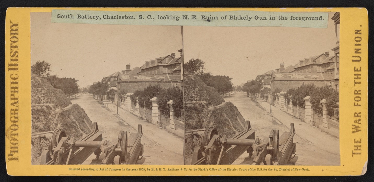
A Library of Congress view of South Battery in 1865.
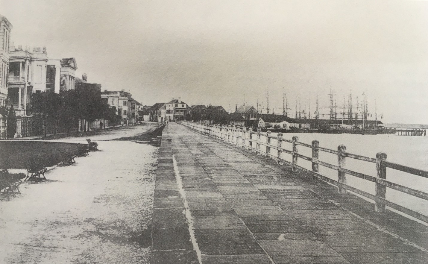
A view of the Battery in 1883, with tall ships at the East Bay wharves in the distance.
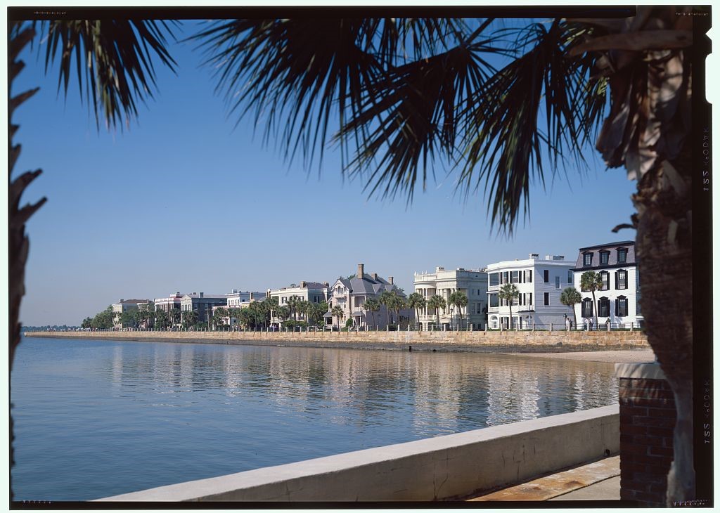
The Battery seawall and its stately mansions, viewed from the Carolina Yacht Club
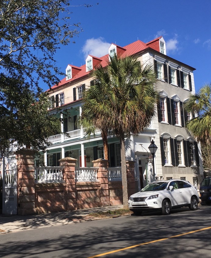
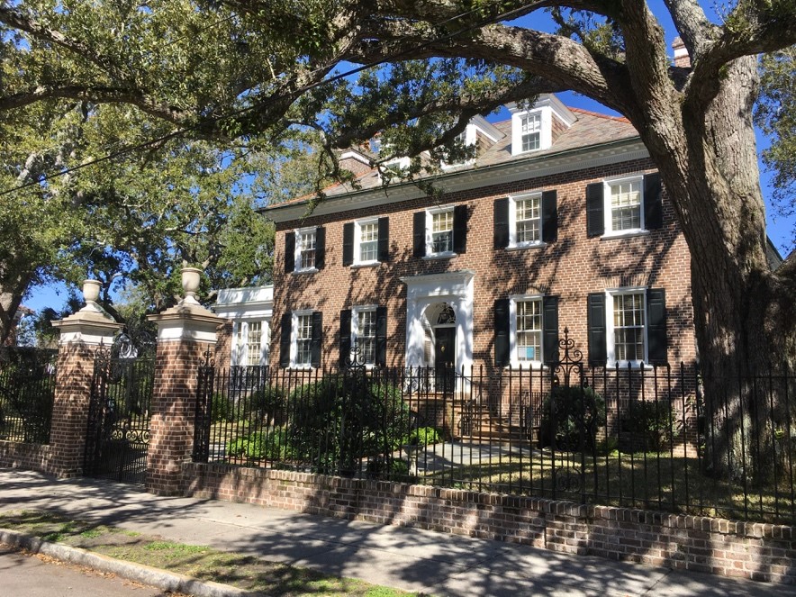
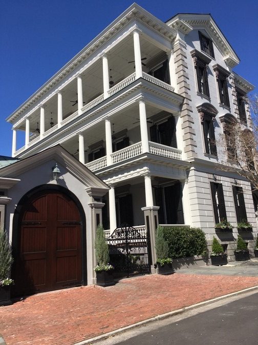
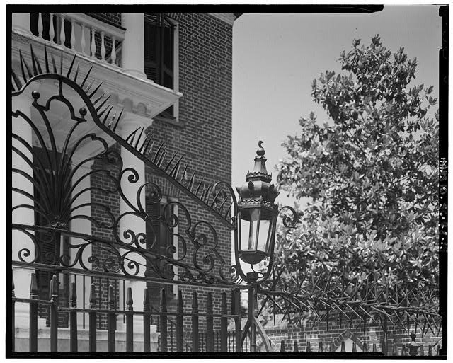
Reflecting the area’s architectural significance, most of the city’s historic house museums are located South of Broad, including Heyward Washington House (1772), the Calhoun Mansion (1876), Nathaniel Russell House (1808), and the Edmondston Alston House. There are too many noteworthy private residences to count, but some of the highlights are found along East and South Batteries, King, lower Church, and Meeting Streets. The Patrick O’Donnell house at 21 King Street, constructed begun in 1852 and completed in 1870, is a large masonry Italianate mansion with balustraded southern facing piazzas. The Miles Brewton House at 27 King Street was built circa 1765 and is considered to be one of the best examples of Georgian Palladian architecture in Charleston. The house has remained in the ownership of the same family since its construction, allowing it to retain original features throughout. The house also features an interesting Gothic Revival carriage house building and formidable chevaux de frise spikes on the front wrought iron gate.
The Patrick O’Donnell House and a striking view of the ironwork in front of the Miles Brewton House.
While primarily residential, there are several beautiful public parks that make South of Broad all the more desirable, including White Point Garden, the High Battery and Low Battery promenade, Hazel Parker Playground and dog park on East Bay Street, and the Horse Lot park on the western end of Broad Street. If you are interested in South of Broad real estate, download our mobile app or give us a call to speak with an expert in the area.
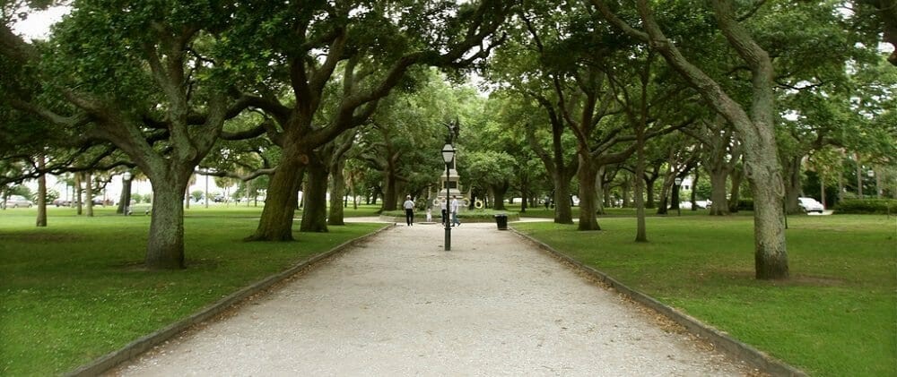
White Point Garden
Despite being one of the most popular areas of the city for visitors, South of Broad retains its residential character, and residents often have the narrow tree lined streets to themselves on most evenings. Nothing conveys the ambiance of Charleston more than a stroll through South of Broad. Visit the area for yourself and see why so many people choose to reside here. Our team at Charleston Empire Properties can show you available real estate and help you find your future home in South of Broad. Contact us today!
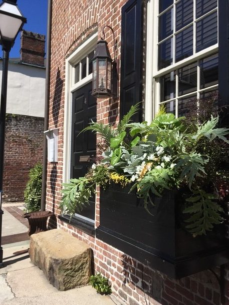
A view down brick paved lower Church Street, and a picturesque window box tucked on a side street.
Sources:
–
Christina Butler. History of 40 Tradd Street.
–
Christina Butler. Lowcountry at High Tide: A history of flooding, reclamation, and
drainage in Charleston. Columbia: USC Press, 2020.
–
Jonathan Poston. Buildings of Charleston. Columbia: USC Press, 1996.
–
Samuel Stoney. This is Charleston. Columbia: Carolina Art Association, 1940.
–
Library of Congress historic maps and
photographs
–
The ICHNOGRAPHY of
CHARLES-TOWN, at High Water, 1739. https://collections.leventhalmap.org/search/commonwealth:hx11z600p
–
Preservation Society. “Halsey Map.” http://halseymap.com/Flash/map.asp

 CALL US
 EMAIL US
