North Central Neighborhood: A Diverse Charleston Enclave
By Christina R. Butler/Butler Preservation for Charleston Empire Properties – 26 November 2019
With an assortment of churches, an art gallery, various businesses and restaurants, and even a mosque, North Central is one of the most diverse neighborhoods in Charleston. It is a long, large area bounded by I-26 on the east, Rutledge Avenue on the west, Congress Street on the south and Mount Pleasant street to the north, and is comprised of several earlier small developments.
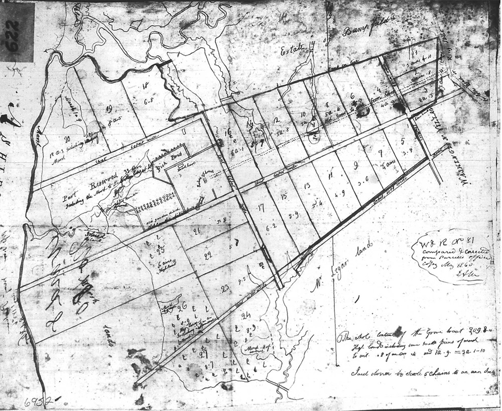
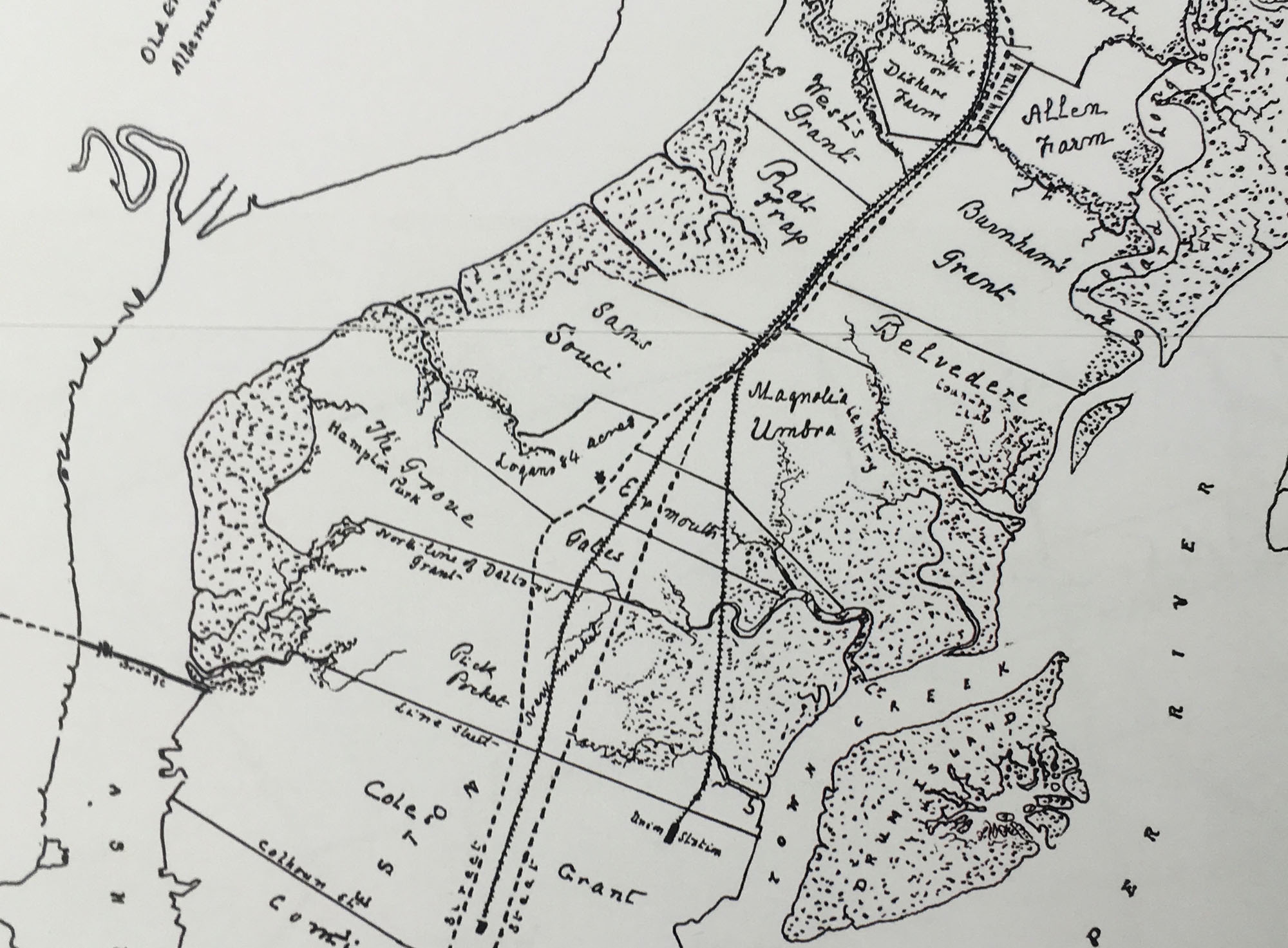
The lands that became North Central were originally part of the Grove (later Lowndes Grove), Sans Souci, and Rat Trap plantations, which were located outside the town boundaries of Charleston between King Street and the Ashley River. Logan’s Acres lay to the south of Sans Souci, near present day Simons Street. During the American Revolution, the British forces destroyed the extensive gardens and greenhouses on the Grove, which was at that time owned by John Gibbes.
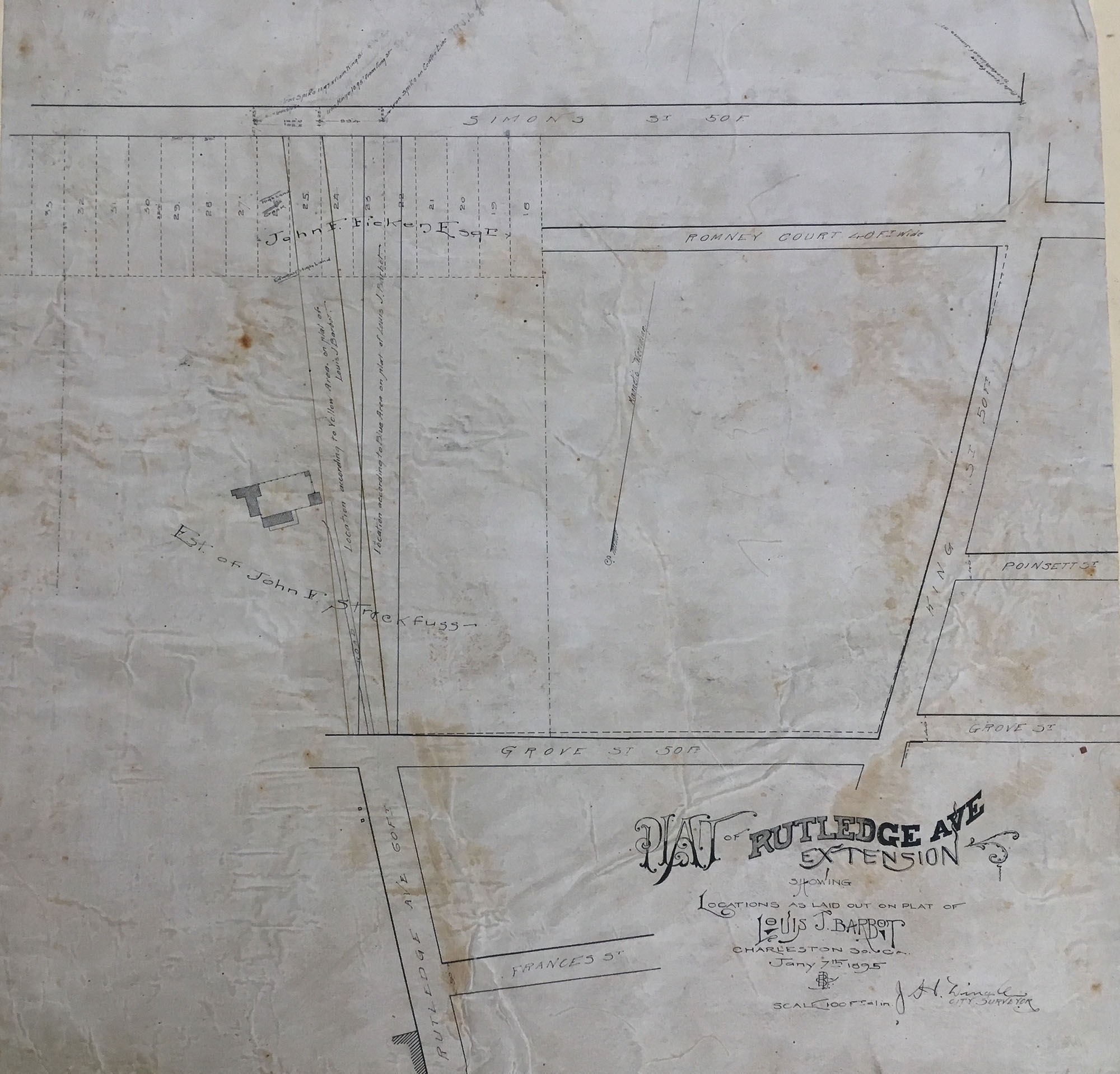
The area was mostly small farms and developed slowly until the turn of the twentieth century. In 1893, Frederick J. Smith subdivided the Maverick Street neighborhood, while developer and politician T. Allen Legare created building parcels between Moultrie and Huger Streets in 1899. The Rutledge Avenue Improvement Company followed suit, creating 146 lots between Romney and Cypress Streets in 1912, followed by Carolina Florida Realty’s 92 lots created in 1918 to the east of King Street. In 1920, Riverside Development Company began laying out the Rose Garden tract, with building lots on Peachtree, Maple, Cypress, and Darlington Streets on former Sans Souci Planation. During and after World War One, development accelerated with the growth of the Navy Base as more people moved to Charleston.
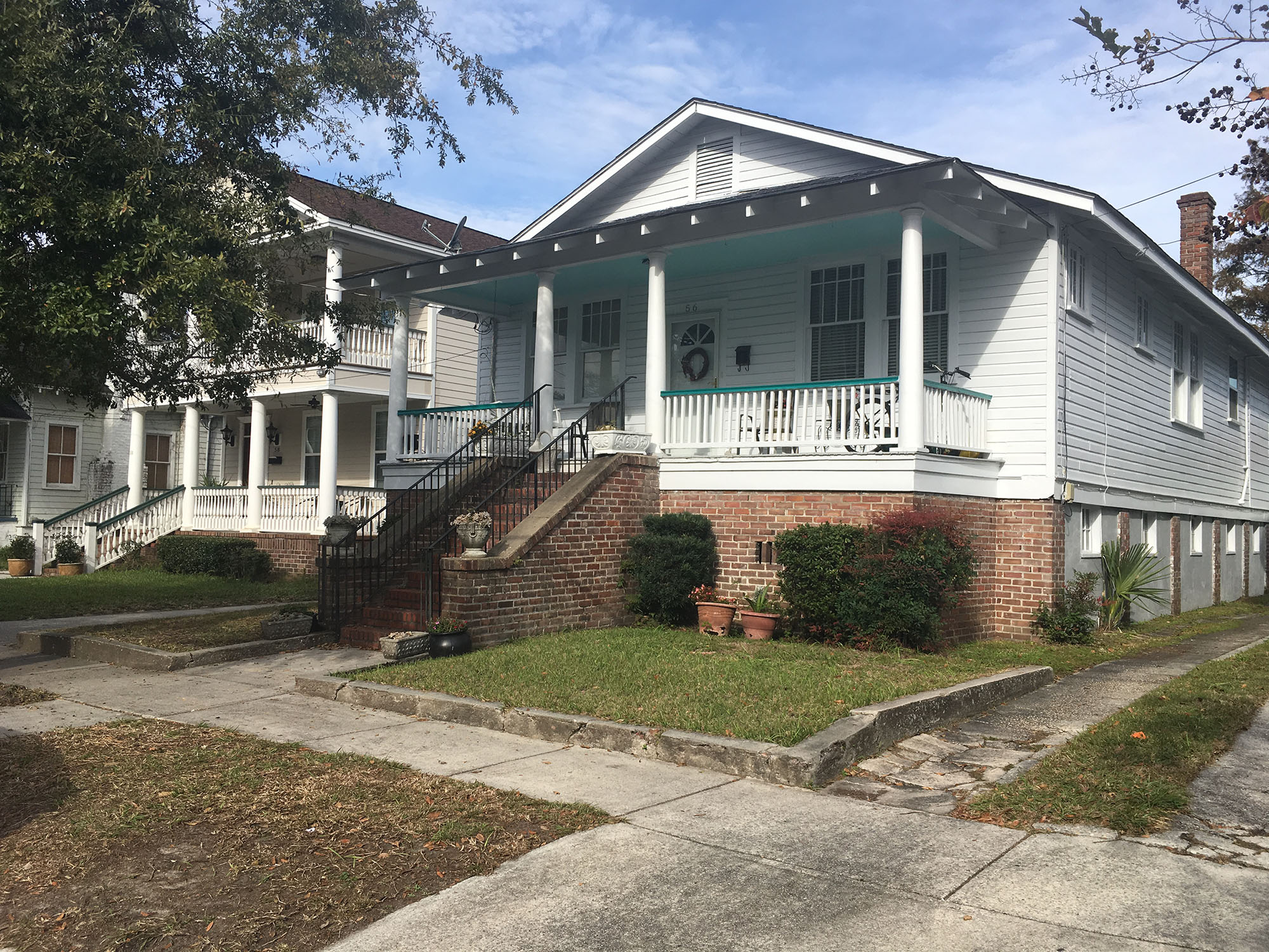
Houses in North Central come in a variety of sizes and styles that reflect the neighborhood’s eras of construction. North Central features small one-story freedman’s cottages, Craftsman style bungalows, cottages, two-story four-square houses, and few late Victorian houses along Rutledge Avenue. Most residences are wood frame, and the majority were built between the 1910s and the 1940s.
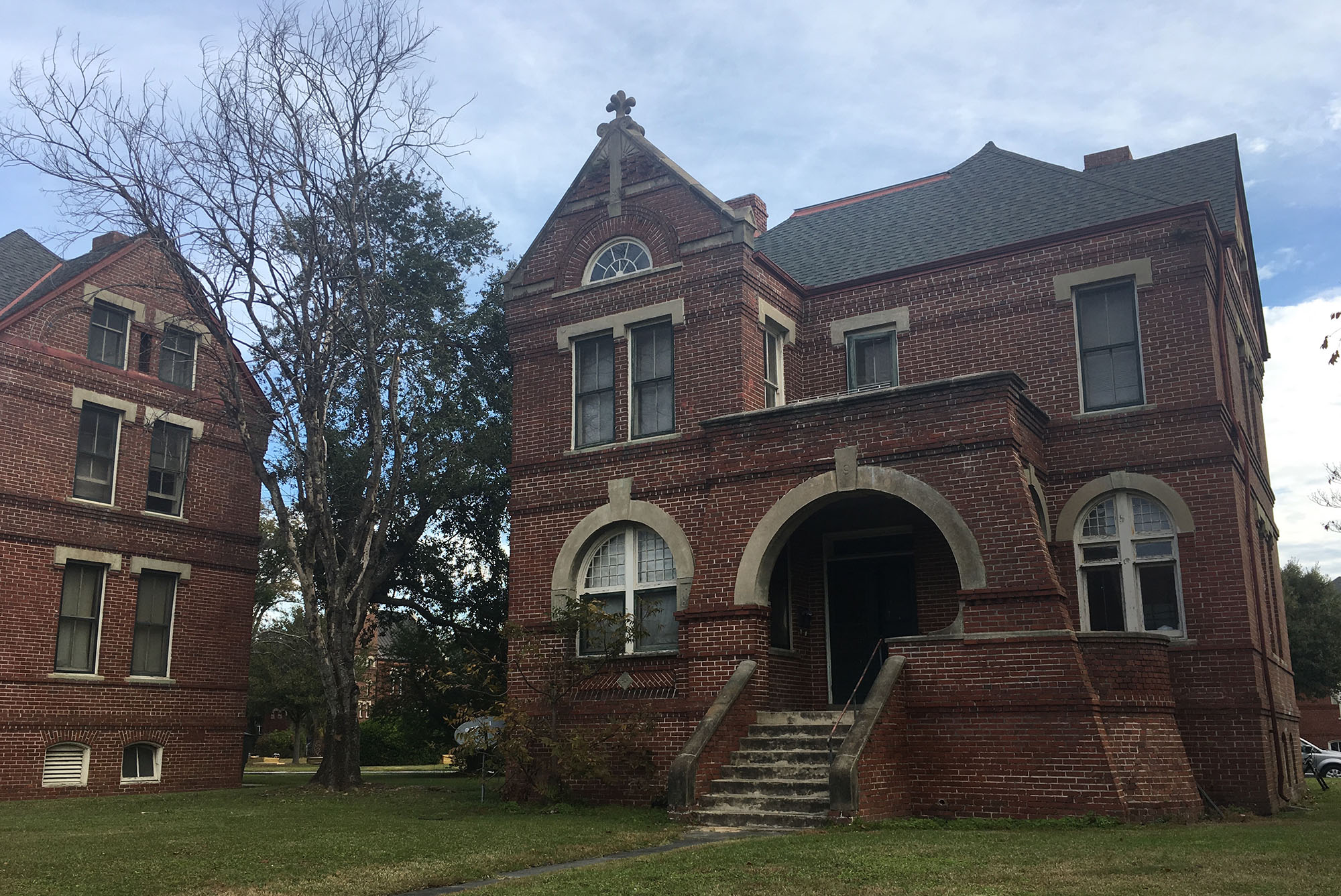
Enston Homes at the corner of King and Huger Streets is one of the most iconic landmarks. It is named for William Enston (18081-860), an English immigrant who became merchant and shipping magnate in Charleston. Enston donated money to the city to construct the small residential community for elderly residents in need. Construction of several Richardsonian Romanesque style brick houses finally began in the 1880s, and the site now also includes a chapel with bell tower, a stone entry gate, an infirmary, and a water tour. Across the street and adjacent are circa 1919 James Simons Elementary School, and the Charleston Charter School for Math and Science to serve the younger residents of the upper peninsula.
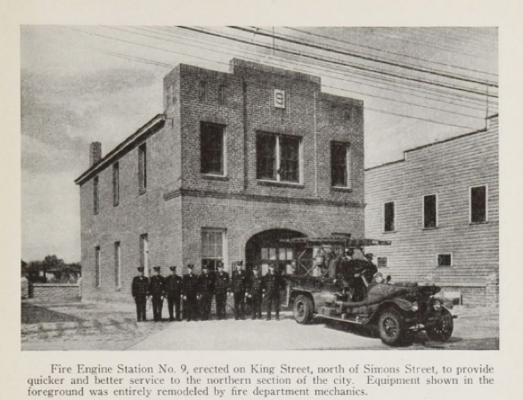
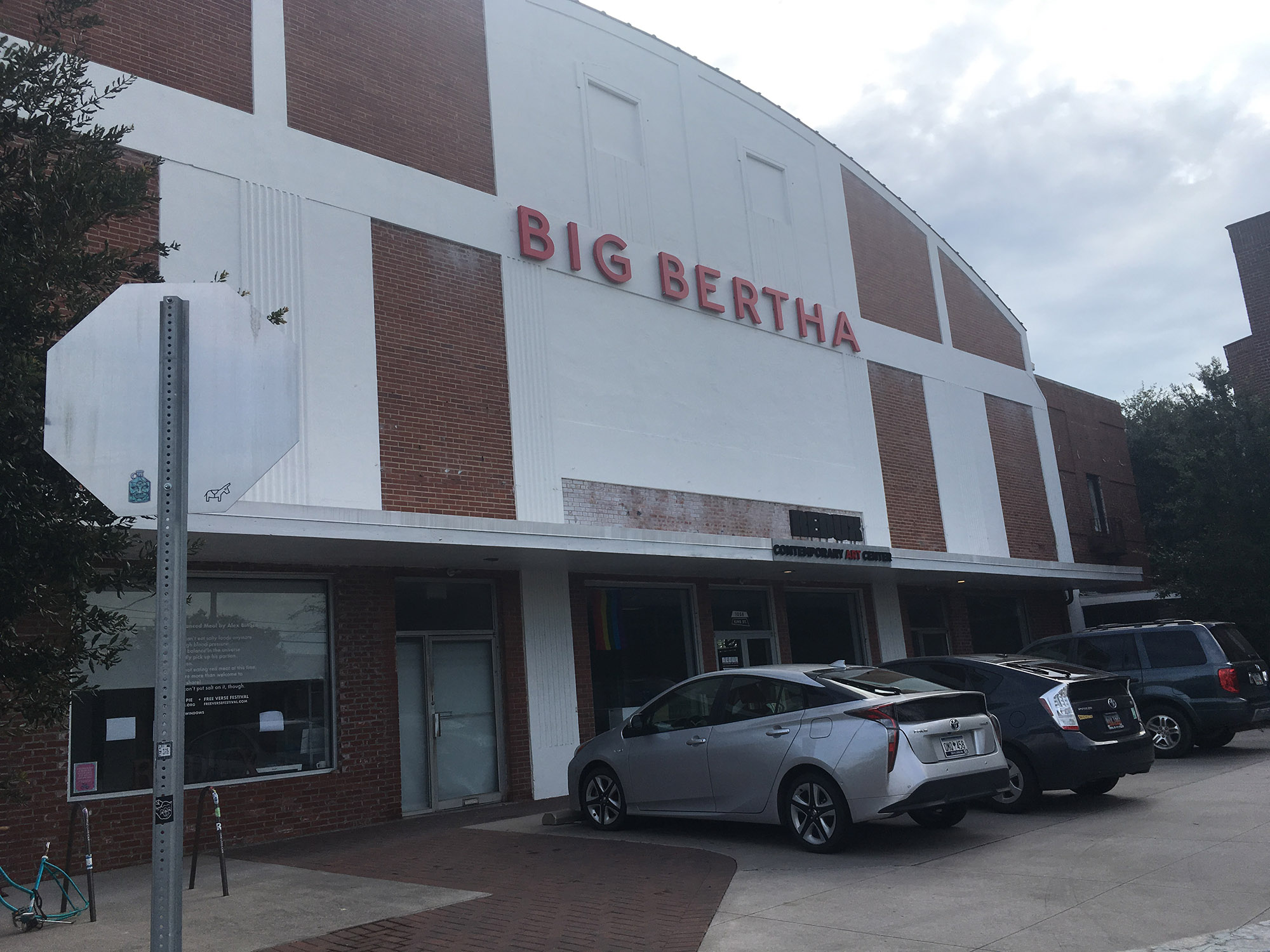
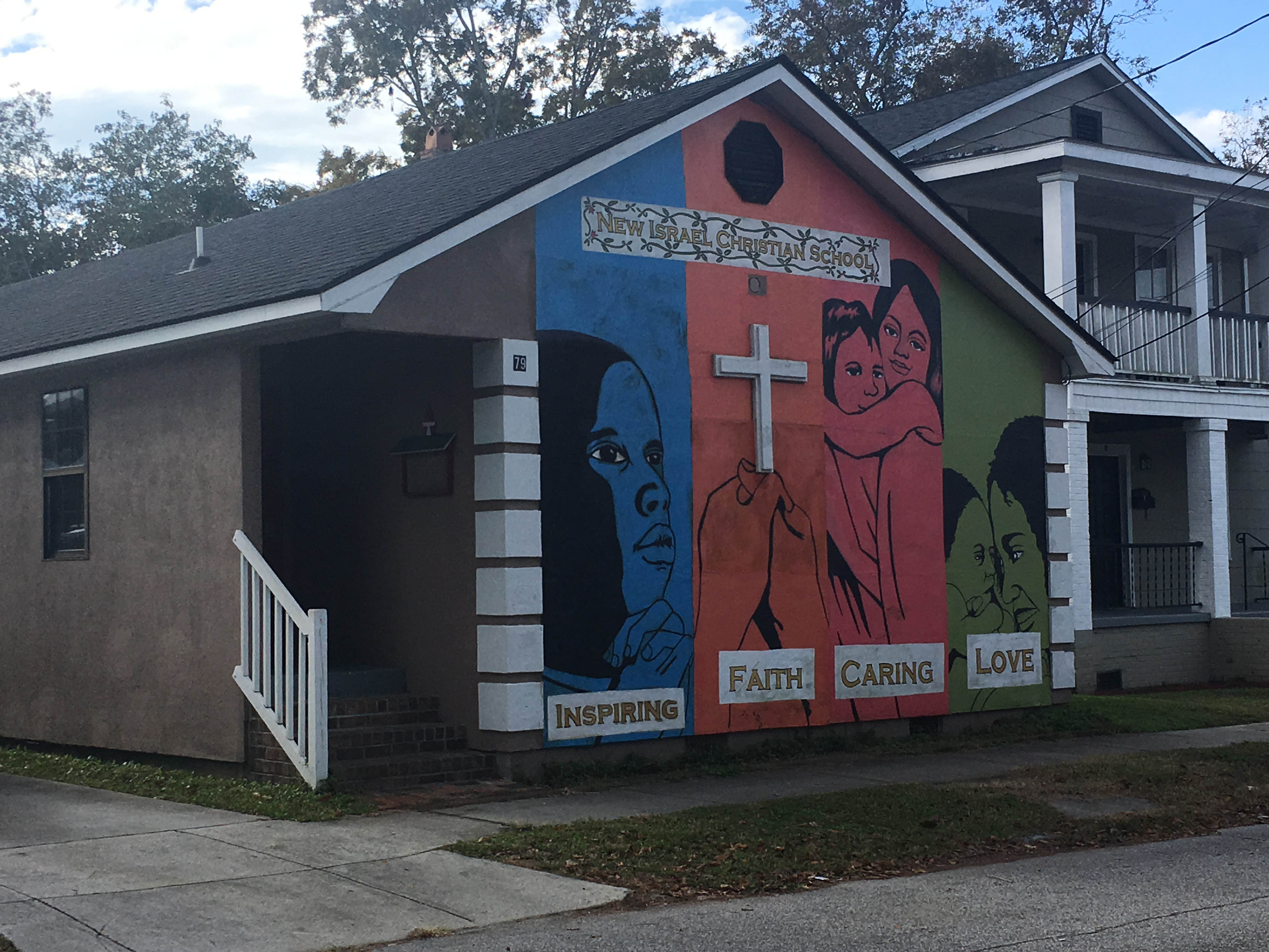
North Central boasts several historic buildings that have been given adaptive new uses to fit the changing neighborhood. Big Bertha at 1056 King Street began as a theater built by the Sottile family in 1941, until it was leased to the Navy for use as a library during World War Two. It then became grocery store and roller rink, and today it is an art gallery and storage space. The Palace Apartments at 1000 King Street was constructed in 1902 as a bag manufactory, before its 1938 Art Deco remodel as an auditorium where Elvis Pressley and the Allman Brothers performed. Other neighborhood amenities include several churches, such as Sacred Heart Catholic and several smaller African American congregations, the Dart Library, a historic fire station house on Huger Street, a shopping center, and several small shops and trendy restaurants along Rutledge and King Streets, all in easy walking distance from the varied historic residential blocks of North Central that are experiencing renovations and a resurgence in popularity.
To inquire information about North Central real estate please give us a call today. Our realtors are familiar with the area and stay up to date on all the current listings. We would love the opportunity to show you around the area and current properties available.
Sources:
–
– McCrady Plat series, 7657, 7666, 6722, 7684, 706, 6859, 6760, 6952.
-Parker, Adam. “Redux on the Move to Upper King Street”, Post & Courier, 5 August 2016.
-Butler, Nicholas. “Squeezing the Charleston Neck, from 1783 to the Present.” Charleston Time Machine podcast, August 2018. https://www.ccpl.org/charleston-time-machine/squeezing-charleston-neck-1783-present
-Butler, Christina. Lowcountry at High Tide. Columbia, University of South Carolina Press, 2020.
-Vertical file, “Neighborhoods- North Central”, South Carolina Room at Charleston County Public Library.
-Lowndes Grove National Register of Historic Places nomination form
-Smith, Henry A.M. “Charleston and Charleston Neck”, South Carolina Historical Magazine, Vol. 19, No. 1 (January 1918), 3-76.
-Preservation Society, Halsey Map, http://halseymap.com/Flash/map.asp

 CALL US
 EMAIL US