Wandering the West Side: Exploring One of Charleston’s Hottest Historic Neighborhoods
By Christina R. Butler/Butler Preservation for Charleston Empire Properties – 27 October 2019
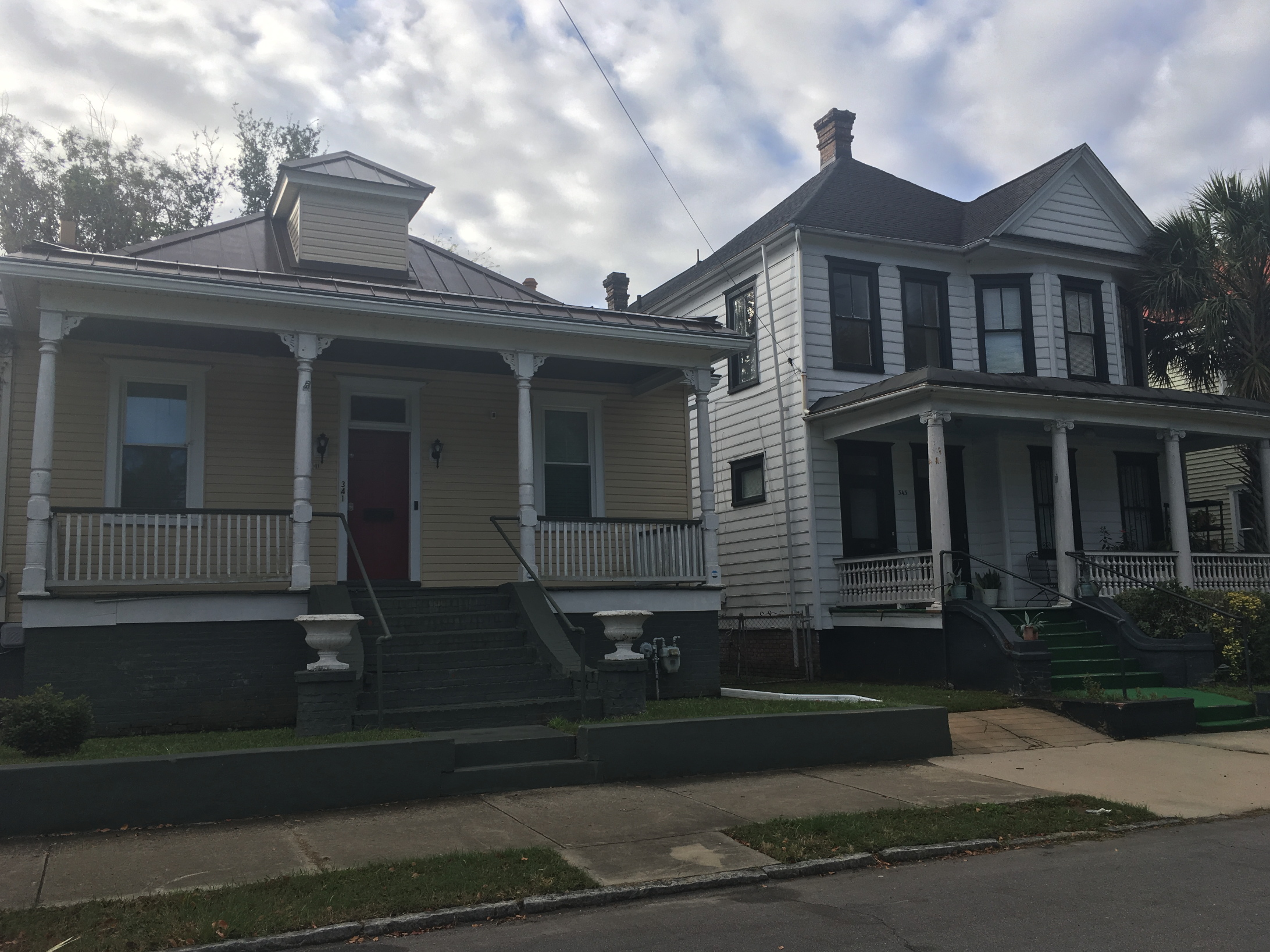
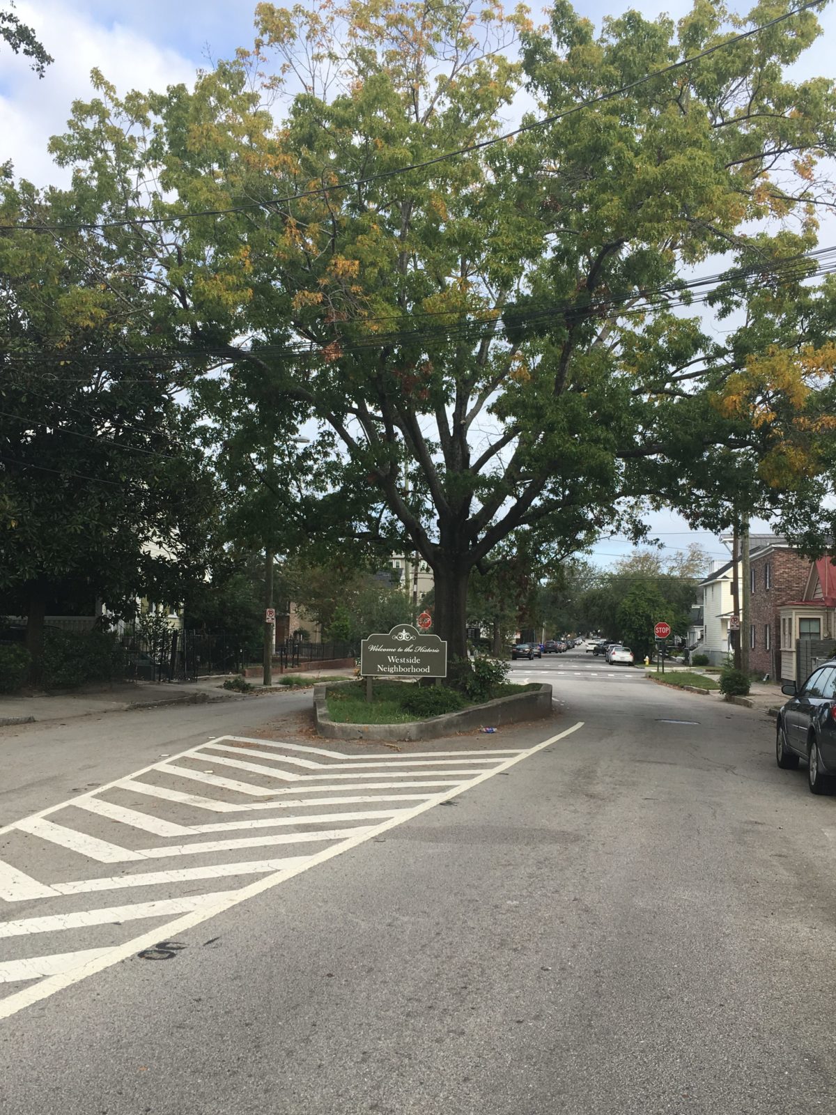
While the West Side name is relatively recent for the area bounded on the east by King Street, on the south by the Crosstown Expressway, by Hampton Park Terrace to the north, and by the Ashley River to the west, the neighborhood is comprised of several smaller historic subdivisions dating back more than 150 years, with an eclectic mix of architecture ranging from Craftsman style bungalows to Victorian houses.
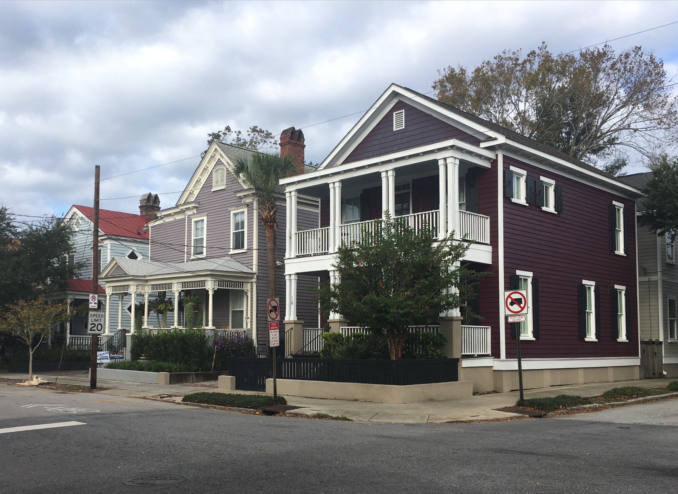
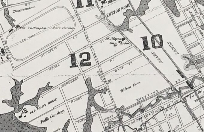
The West Side lies on the Charleston Neck, which was historically dotted with small farms, cattle pastures, burial grounds, and lowlands. In the colonial era, William George Freeman owned the land and called it Pick Pocket Plantation. During the War of 1812, the American forces built a line of fortifications through the area (this is the origin of Line Street). Race Street is named because the thoroughfare ran parallel to Washington Racecourse (now Hampton Park.)
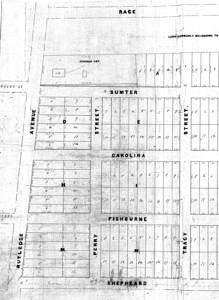
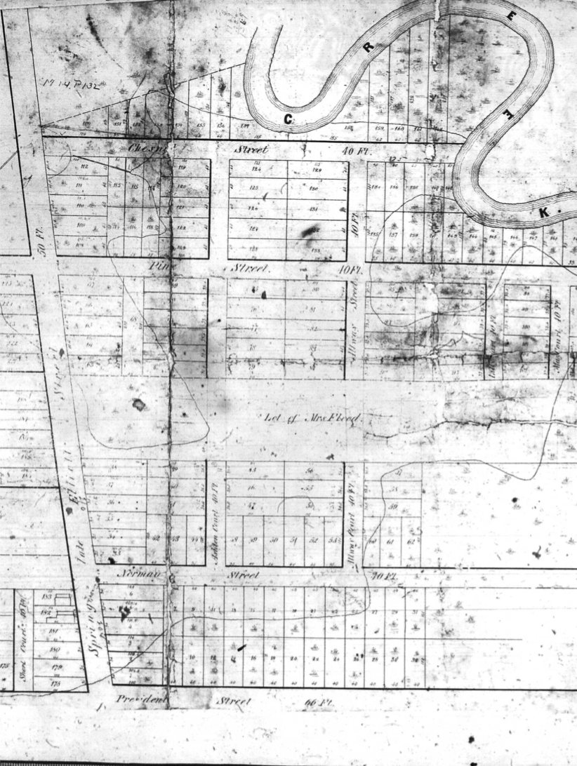
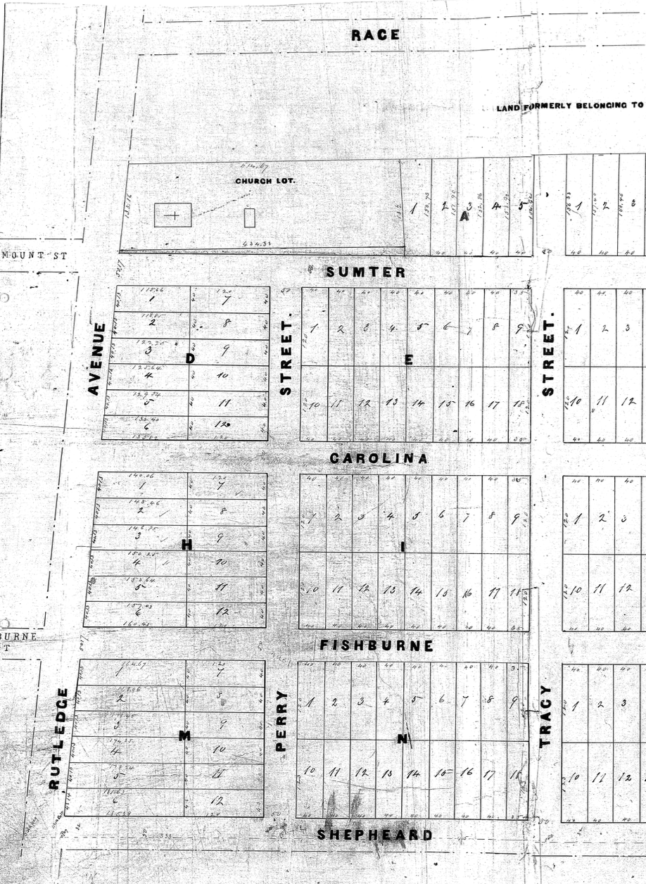
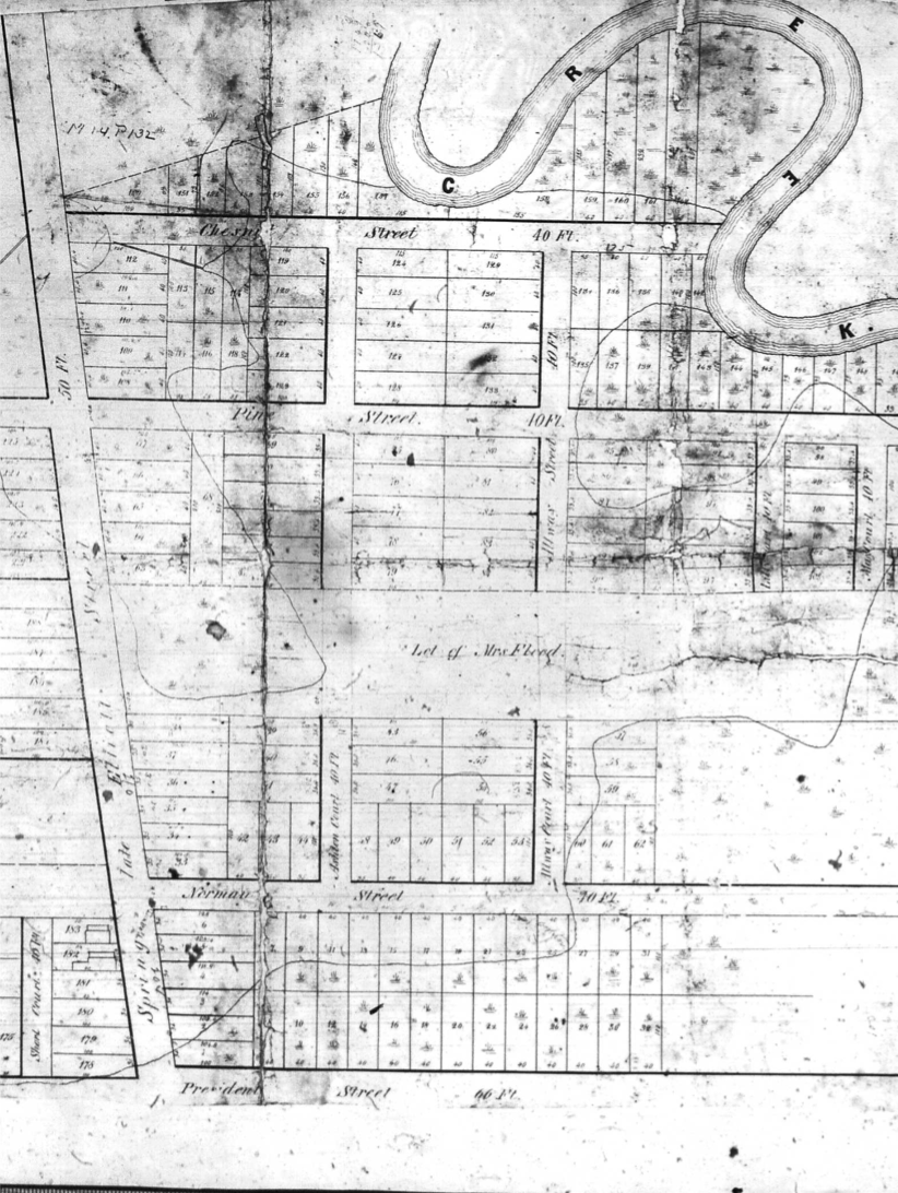
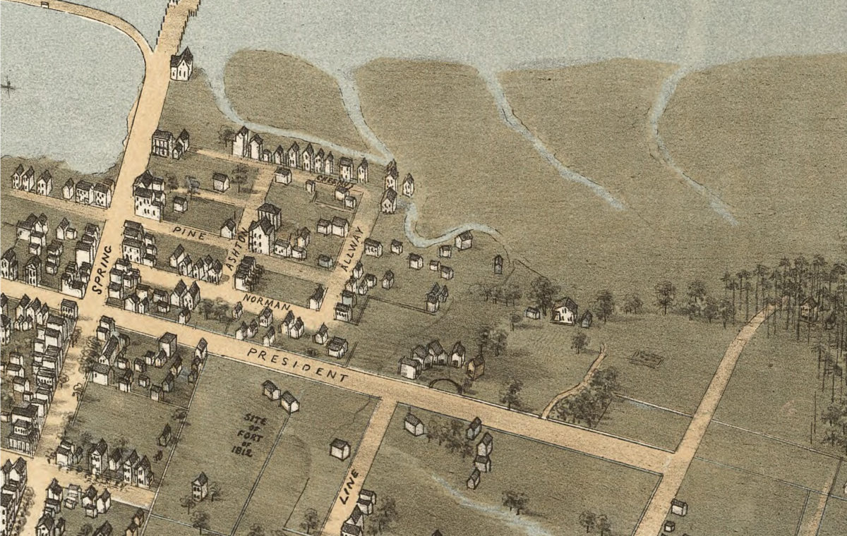
The Neck slowly developed as the city’s population grew. In 1841, Ephraim Mitchell created Washington Village to the north of Race Street. The following year, Thomas N. Gadsden subdivided 225 lots at the west end of Spring Street near President Street; today, this is the site of WestEdge development, the vestiges of tidally influenced Gadsden Creek, and Gadsden Green city housing complex. Sumter Street (formerly Mount Street) between Coming and Rutledge was owned by the Shepherd family and was known as Wilson Farm (Sophia Shepherd married a Wilson) until 1893 when the family laid out building lots along Race, Sumter, Shepard, Tracy, and Rutledge Streets.
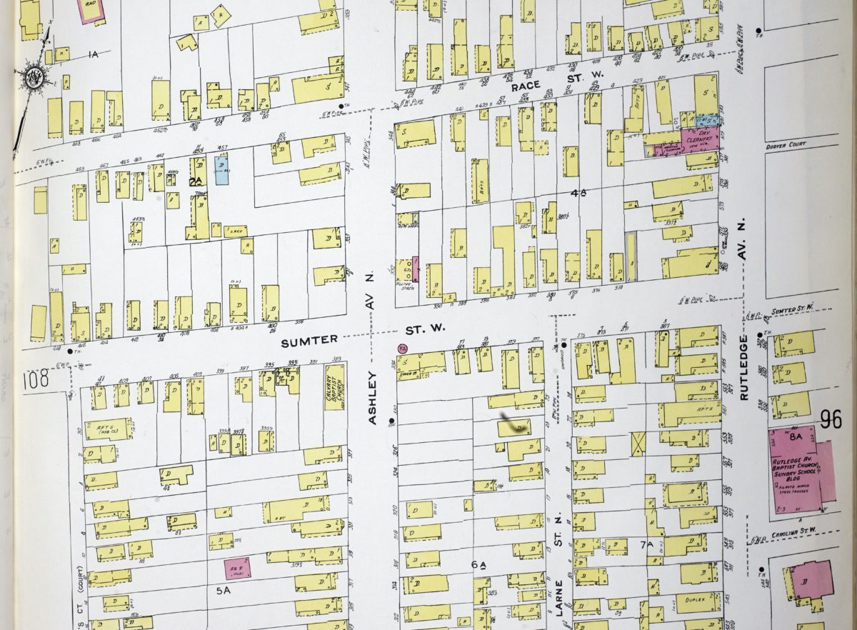
1944 Sanborn Map
Following the South Carolina Interstate and East Indian Exposition in 1902, a World’s Fair style event with fairgrounds that became Hampton Park, the West Side experienced a building boom. For example, the Equitable Real Estate Company created 51 building lots between Rutledge and King Street in 1902 for new houses, and earlier subdivision lots began to sell.
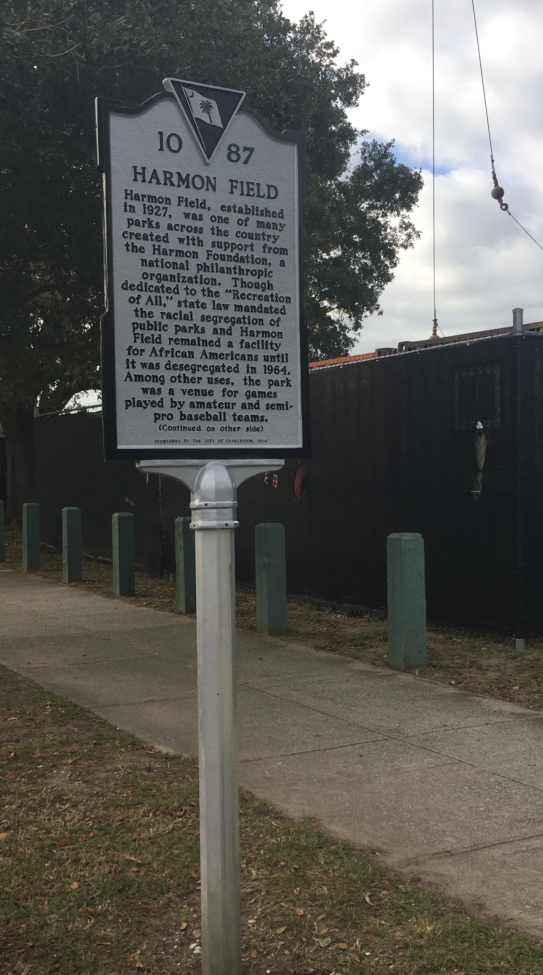
Landmarks include Burke High School, founded in 1894 as a vocational school for underserved black students (supported by famous educator Booker T. Washington), and Mitchell Elementary School, a circa 1909 masonry neoclassical building. The West Side also has recreational amenities including Brittlebank Park, Riley Stadium, the Citadel’s Hagood Stadium, and 13-acre Harmon Field, an African American athletic park created during the Jim Crow era of segregation in the South.
TheWest Side features numerous wooden folk Victorian and Craftsman style houses. Historically, there were concentrations of African American residents along Norman, Allway, and Ashton streets and pockets of white residents along Fishburne and Congress Streets, and the neighborhood retains an integrated mix of Charlestonians. In the 1960s, the area was forever altered by the construction of the Crosstown Expressway, which severed residential neighborhoods and prompted the demolition of blocks of historic houses. It was indicative of modern transportation planned for the volumes of people who were moving off of the Charleston peninsula, leaving the West Side and other neighborhoods in a period of slow decline.
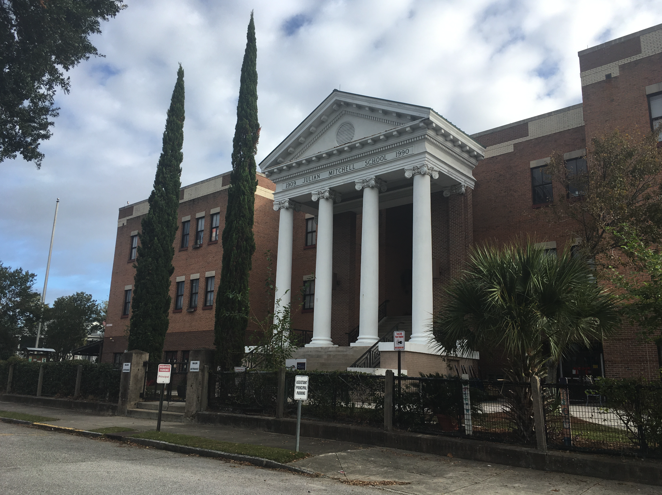
Mitchell Elementary
The West Side has since regained its vibrancy lost during the 1960s, as property near the Ashley River is being developed and people snatch up the few remaining vacant lots for new homes. To the east, upper King Street has become a nightlife hub, with popular restaurants like Leon’s Oyster and Melfi’s, anchoring the eastern boundaries of the neighborhood and attracting tourists and new residents alike.
Learn even more about the West Side by contacting Charleston Empire Properties. Our team of Charleston realtors would be happy to share further information about the West Side and what future homeowners can expect. Call us today or download our mobile app to conveniently look at available real estate on the West Side and surrounding areas.
Sources:
– News and Courier, “Program Stimulates the West Side.” 15 September 1980.
– Charleston Evening Post, “West Side Group Wants National Register Listing,” 4 April 1987.
– McCrady Plat series, #136, 374, 8042, 7548, 7641, 7658.
– Butler, Nicholas. “Squeezing the Charleston Neck, from 1783 to the Present.” Charleston Time Machine podcast, August 2018. https://www.ccpl.org/charleston-time-machine/squeezing-charleston-neck-1783-present
– Preservation Society of Charleston. Wilson Farm Area Character Appraisal. Charleston, 2012.
– Butler, Christina. Lowcountry at High Tide. Columbia, University of South Carolina Press, 2020.
– Preservation Society, Halsey Map, “Washington Race Course”, http://www.halseymap.com/Flash/window.asp?HMID=29



Useful information. Fortunate me I discovered your website accidentally, and I’m stunned why this coincidence didn’t happened earlier! I bookmarked it.
I’m grateful for having you as a friend!
Hello there! This is my first visit to your blog! We are a team of volunteers and starting a new project in a community in the same niche. Your blog provided us beneficial information to work on. You have done a wonderful job!